How to Read an Old Road’s Shape on a Walk
An old road walk reveals how bends, crossings and route changes connect settlements. Learn to compare the ground with maps without mistaking clues for proof.
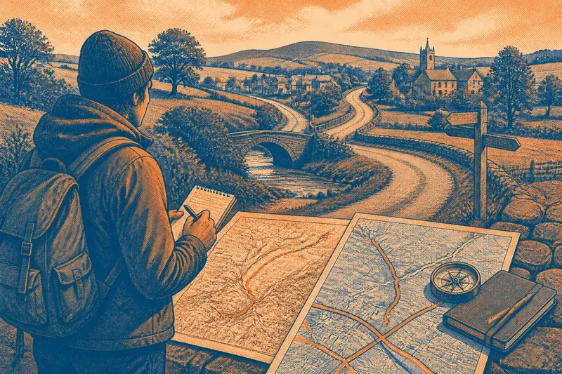
Why does an old road bend away from the place you expect it to reach? An old road walk can show how its alignment links settlements, crossings and terrain, even when later building has obscured its earlier course. The useful question is not simply where the road goes, but what its shape may preserve.
Roads change. A route may have been straightened, diverted around a railway or carried through a growing settlement. Read the visible road as a palimpsest: a page where newer marks sit over older ones. Its bends can suggest past connections, but maps and field observations are needed before treating an interpretation as more than a possibility.
Choose a useful stretch
Look for a public route between recognisable places, such as a village centre and a bridge, or a market square and the next settlement. A stretch that crosses different kinds of ground is especially useful: a built-up street may give way to a lane, then meet a stream or a ridge. Those transitions offer clues about how the route relates to its surroundings.
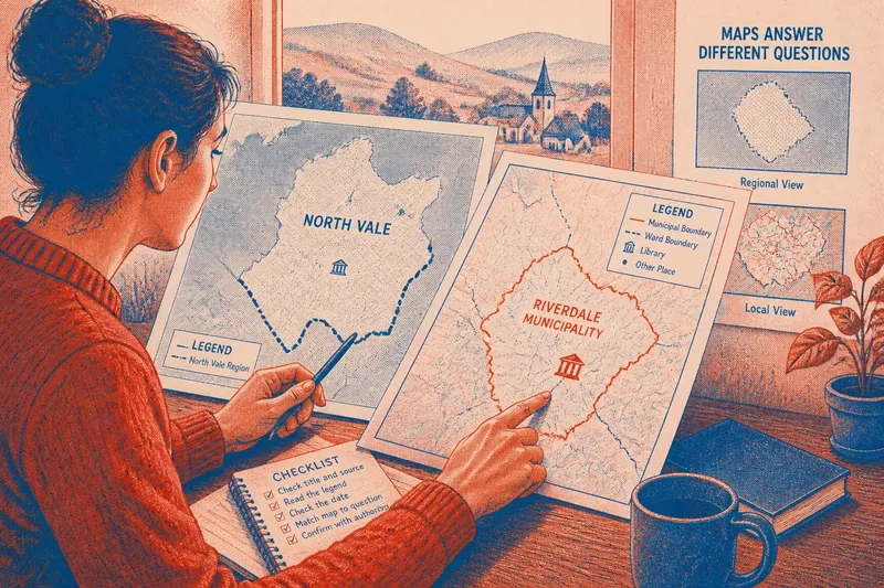
Before setting out, compare a current map with an older map if one is available. Ordnance Survey historical maps, local archives and digitised map collections can help reveal whether a road’s alignment, name or connection has changed. Check the map date and scale; a small-scale map may simplify bends or omit minor paths.
Mark the public route and likely stopping places. Carry a notebook or use a phone to record observations, but keep to pavements and public paths. Do not enter private land or stand where you obstruct others. If a junction or crossing is unsafe to approach, note it from a suitable public place and leave the detail unresolved.
Read the alignment
On the ground, pay attention to the sequence of places the road connects. Does it run between settlement centres, or does it pass one village and lead towards another? Does it approach a bridge directly, or join a larger route before reaching the crossing? These relationships help distinguish a route that serves local movement from one that connects places across a broader area.
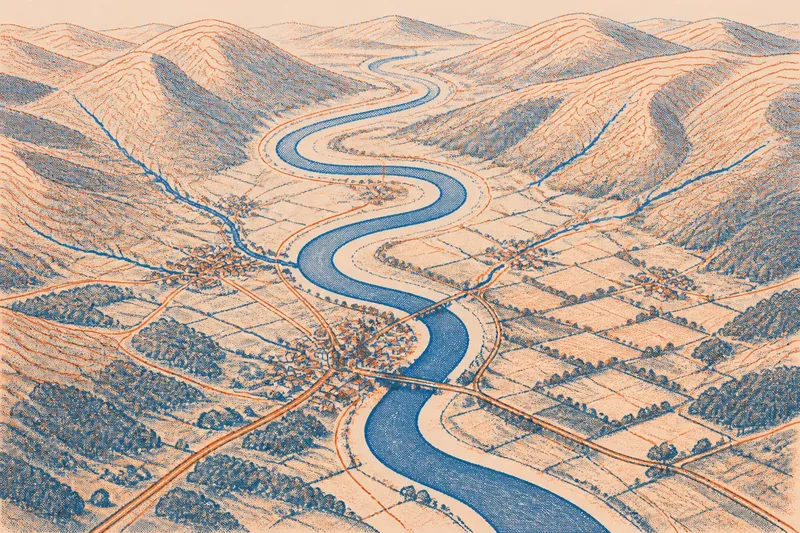
Compare the road’s line with the land around it. A route may follow a valley floor, skirt a steep slope or take a gentler way across uneven ground. A bend near a stream could relate to a crossing, but it could also reflect later engineering or development. Record what you can see separately from what you think it means.
Say you walk from a village green towards a neighbouring settlement. You note that the lane runs beside a stream, turns towards a bridge, then continues uphill in the direction of the next village. Later, an older map shows a route linking those same places, though its line differs near the bridge. The reasonable reading is that the road has changed around the crossing; the map and walk do not, by themselves, establish when or why.
Compare old and new maps
Use fixed features to line up different maps: a church, railway, stream junction or long-standing road crossing. Then compare the order and relationship of features rather than expecting every bend to match. Historical maps may use different conventions, and a printed line can be approximate.
Look for changes that may explain a road’s present shape:
- A straighter alignment: If an older map shows a curve that is absent now, consider whether a later road improvement altered the course; check another map date before deciding the change was a straightening.
- A settlement edge: If the road passes around the older cluster of buildings, compare maps to see whether later development grew along it; if the settlement expanded first, consider whether the road was diverted instead.
- A crossing point: If maps show a bridge or ford at different positions, check whether the stream’s course or the crossing itself changed; if the evidence is unclear, keep both possibilities open.
- A route name: If the name changes at a junction, record the change and compare it with local maps; if the alignment continues, do not assume the new name marks a new road.
- A missing connection: If an older map shows a path that is absent on the current map, check signs and public-path information; if access is not clear, do not follow it onto private land.
- A road that ends on the map: If the line stops near a boundary or railway, inspect the map at a larger scale; if no public continuation is shown or signed, treat it as a break rather than crossing a barrier.
For legal access questions, consult the local authority’s definitive map or ask the authority responsible for the path. A historical map can show that a route was drawn, but it does not by itself establish current public rights.
Notice crossings and junctions
Crossings can make a route’s purpose easier to interpret. At a bridge, note which roads approach from each side and whether they continue in a similar direction. At a junction, compare the roads’ destinations and how they connect to nearby settlements. A crossing may gather several local routes as well as carry a longer through-route.
Do not assume a narrow bridge is ancient or that a broad junction is recent. Structures are replaced, roads are widened and traffic patterns change. Look for map evidence, visible alignment and the sequence of connected places rather than relying on appearance alone.
When a road turns twice in quick succession, follow its connections instead of relying only on compass direction. It may skirt a building, meet a second route or change name while continuing towards the same destination. A piece of string laid around the corners of a box makes a plain comparison: the line bends, but still joins its two ends.
When do maps disagree?
How can I tell an old road from a newer one?
Shape and surface cannot settle the question, since both can change over time. Compare older and current maps, and look for the road’s relationship to settlements, crossings and terrain.
What should I note at a junction?
Record which routes meet, where each appears to lead and any visible name or direction signs. Keep those observations separate from your interpretation of why the junction formed there.
What if the road has disappeared?
Note where the visible or mapped route stops and whether a possible continuation appears beyond the gap. Check public-path information, but do not cross private land or barriers to follow an uncertain line.
Can a map prove why a road bends?
A map can show that an alignment changed or connect a road with nearby features. It rarely explains the cause on its own, so describe a likely relationship as a possibility unless stronger local evidence supports it.
Keep interpretations cautious
After the walk, make a simple sketch showing settlements, crossings, junctions and changes in terrain. Add the road’s present alignment, then mark any differences shown on older maps. This gives you a clear way to compare how the route connects places without turning every curve into a historical claim.
When an old road walk leaves a gap in the evidence, keep the gap visible in your notes. The route’s relationship to a bridge, settlement edge or valley may still be clear, even if its exact history is not. A careful account of what connects where is more useful than a confident story that the maps and ground cannot support.